Chesterfield Waterside proposed development site
Introduction
The photograph on this page of Chesterfield Waterside proposed development site by Martin Speck as part of the Geograph project.
The Geograph project started in 2005 with the aim of publishing, organising and preserving representative images for every square kilometre of Great Britain, Ireland and the Isle of Man.

There are currently over 7.5m images from over 14,400 individuals and you can help contribute to the project by visiting https://www.geograph.org.uk
Chesterfield Waterside proposed development site
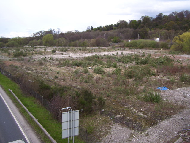
Image: © Martin Speck Taken: 10 Apr 2012
Chesterfield Waterside proposed development site as seen from a footbridge over the A61. See www.chesterfieldwaterside.com
Images are licensed for reuse under creativecommons.org/licenses/by-sa/2.0
Image Location
Latitude
53.243439
Longitude
-1.421544