St. Cleer 'Memorial Hall'
Introduction
The photograph on this page of St. Cleer 'Memorial Hall' by Eric Foster as part of the Geograph project.
The Geograph project started in 2005 with the aim of publishing, organising and preserving representative images for every square kilometre of Great Britain, Ireland and the Isle of Man.

There are currently over 7.5m images from over 14,400 individuals and you can help contribute to the project by visiting https://www.geograph.org.uk
St. Cleer 'Memorial Hall'
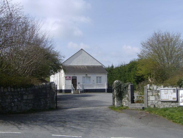
Image: © Eric Foster Taken: 6 Apr 2012
A valuable asset to the village of St. Cleer, the Memorial Hall was built in 1954 as a tribute to the injured and fallen of the Second World War. The land on which the hall stands was given to the Trustees by the Trethevy Home Guard. Two hours before the railway nationalization came into effect in 1947 the then Great Western Railway gave permission for the Trustees to erect the hall, which stands on the old track way of the Liskeard and Caradon Railway, which they then owned. The track way continued on, across what is now a roadway to pass the St. Cleer goods shed. Image
Images are licensed for reuse under creativecommons.org/licenses/by-sa/2.0
Image Location
Latitude
50.489938
Longitude
-4.467873