Lincoln Road to Captain's Hill
Introduction
The photograph on this page of Lincoln Road to Captain's Hill by Ian Paterson as part of the Geograph project.
The Geograph project started in 2005 with the aim of publishing, organising and preserving representative images for every square kilometre of Great Britain, Ireland and the Isle of Man.

There are currently over 7.5m images from over 14,400 individuals and you can help contribute to the project by visiting https://www.geograph.org.uk
Lincoln Road to Captain's Hill
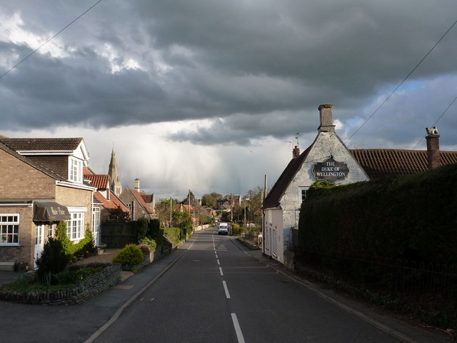
Image: © Ian Paterson Taken: 10 Apr 2012
Looking downhill from beside the Duke of Wellington pub. The spire of St Andrew's Church Image is visible in the background.
Images are licensed for reuse under creativecommons.org/licenses/by-sa/2.0
Image Location
Latitude
53.024292
Longitude
-0.427776