Wall and fence near Pyefield House
Introduction
The photograph on this page of Wall and fence near Pyefield House by Derek Harper as part of the Geograph project.
The Geograph project started in 2005 with the aim of publishing, organising and preserving representative images for every square kilometre of Great Britain, Ireland and the Isle of Man.

There are currently over 7.5m images from over 14,400 individuals and you can help contribute to the project by visiting https://www.geograph.org.uk
Wall and fence near Pyefield House
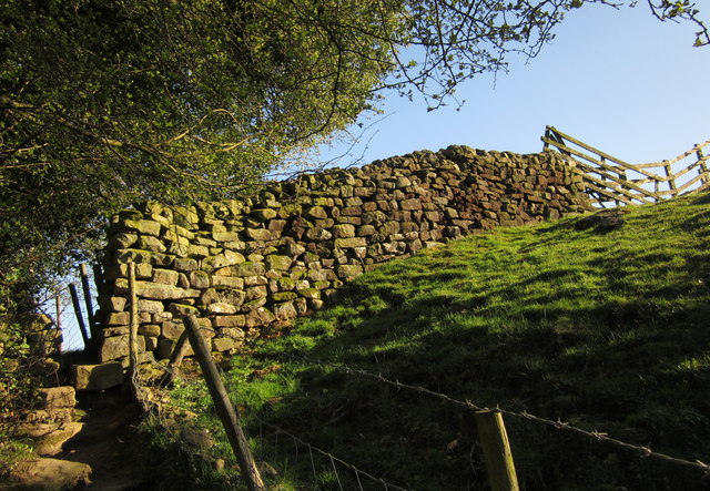
Image: © Derek Harper Taken: 5 Apr 2012
The Nidderdale Way, following footpath 15 29/77/1, crosses this wall on the left. The slope is the embankment of the former North Eastern Railway line by the River Nidd, which is just off to the left.
Images are licensed for reuse under creativecommons.org/licenses/by-sa/2.0
Image Location


Leaflet Map data © OpenStreetMap
Latitude
54.039193
Longitude
-1.695948