Gelligroes Mill, Pontllanfraith
Introduction
The photograph on this page of Gelligroes Mill, Pontllanfraith by Robin Drayton as part of the Geograph project.
The Geograph project started in 2005 with the aim of publishing, organising and preserving representative images for every square kilometre of Great Britain, Ireland and the Isle of Man.

There are currently over 7.5m images from over 14,400 individuals and you can help contribute to the project by visiting https://www.geograph.org.uk
Gelligroes Mill, Pontllanfraith
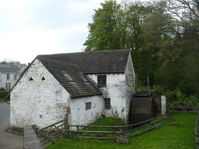
Image: © Robin Drayton Taken: 22 Apr 2011
Dating from the 17th century, it is Grade II* listed. For its connection with the sinking of the Titanic see http://www.geograph.org.uk/photo/2892372 .
Images are licensed for reuse under creativecommons.org/licenses/by-sa/2.0
Image Location
Latitude
51.645154
Longitude
-3.189669