2012 : Dairy Farm from Kingston Lane
Introduction
The photograph on this page of 2012 : Dairy Farm from Kingston Lane by Maurice Pullin as part of the Geograph project.
The Geograph project started in 2005 with the aim of publishing, organising and preserving representative images for every square kilometre of Great Britain, Ireland and the Isle of Man.

There are currently over 7.5m images from over 14,400 individuals and you can help contribute to the project by visiting https://www.geograph.org.uk
2012 : Dairy Farm from Kingston Lane
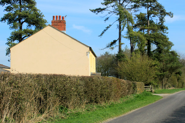
Image: © Maurice Pullin Taken: 23 Mar 2012
Similar to Image] taken in 2006. Not much has changed, probably not much changed in the last 50 years apart from the TV aerial, repainted recently, chimney stack seems to have been repointed.
Images are licensed for reuse under creativecommons.org/licenses/by-sa/2.0
Image Location
Latitude
51.138583
Longitude
-2.244796