The Crown public house, Chinnor
Introduction
The photograph on this page of The Crown public house, Chinnor by Richard Dorrell as part of the Geograph project.
The Geograph project started in 2005 with the aim of publishing, organising and preserving representative images for every square kilometre of Great Britain, Ireland and the Isle of Man.

There are currently over 7.5m images from over 14,400 individuals and you can help contribute to the project by visiting https://www.geograph.org.uk
The Crown public house, Chinnor
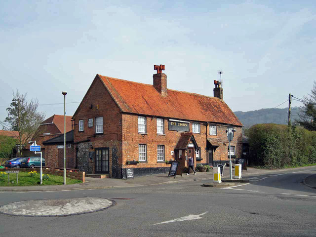
Image: © Richard Dorrell Taken: 14 Mar 2012
Located at the junction between Station Road and Church Road. The Crown is one of several pubs in the village.
Images are licensed for reuse under creativecommons.org/licenses/by-sa/2.0
Image Location
Latitude
51.700961
Longitude
-0.908474