Crossroads Keinton Mandeville
Introduction
The photograph on this page of Crossroads Keinton Mandeville by Nigel Mykura as part of the Geograph project.
The Geograph project started in 2005 with the aim of publishing, organising and preserving representative images for every square kilometre of Great Britain, Ireland and the Isle of Man.

There are currently over 7.5m images from over 14,400 individuals and you can help contribute to the project by visiting https://www.geograph.org.uk
Crossroads Keinton Mandeville
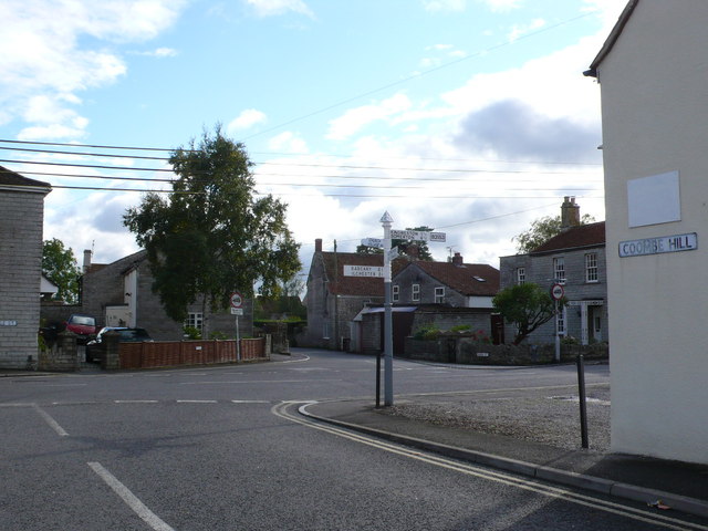
Image: © Nigel Mykura Taken: 18 Sep 2011
This shows the junction where Queen St and Coombe hill meet the main road the B3153 consisting of High St and Castle St. The sign post shows the direction for Babcary , Kingweston , Somerton, The Church and the Village Hall
Images are licensed for reuse under creativecommons.org/licenses/by-sa/2.0
Image Location
Latitude
51.07609
Longitude
-2.645428