Radcliffe Mount: once a railway embankment
Introduction
The photograph on this page of Radcliffe Mount: once a railway embankment by John Sutton as part of the Geograph project.
The Geograph project started in 2005 with the aim of publishing, organising and preserving representative images for every square kilometre of Great Britain, Ireland and the Isle of Man.

There are currently over 7.5m images from over 14,400 individuals and you can help contribute to the project by visiting https://www.geograph.org.uk
Radcliffe Mount: once a railway embankment
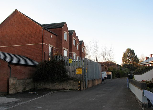
Image: © John Sutton Taken: 6 Apr 2012
The direct line from Nottingham to St Pancras via Melton Mowbray closed in 1968. Some time later parts of the embankment which carried it through West Bridgford were levelled and the land used for housing. These new buildings contrast with Victorian and Edwardian Bridgford and show clearly on aerial photos. See Image], Image], Image], Image], Image] and others.
Images are licensed for reuse under creativecommons.org/licenses/by-sa/2.0
Image Location
Latitude
52.938096
Longitude
-1.129521