Route to Quarry Hill bridleway
Introduction
The photograph on this page of Route to Quarry Hill bridleway by Christine Johnstone as part of the Geograph project.
The Geograph project started in 2005 with the aim of publishing, organising and preserving representative images for every square kilometre of Great Britain, Ireland and the Isle of Man.

There are currently over 7.5m images from over 14,400 individuals and you can help contribute to the project by visiting https://www.geograph.org.uk
Route to Quarry Hill bridleway
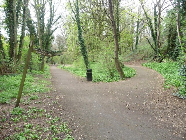
Image: © Christine Johnstone Taken: 8 Apr 2012
From the east side of the former railway triangle in Wetherby, now the Harland Way.
Images are licensed for reuse under creativecommons.org/licenses/by-sa/2.0
Image Location
Latitude
53.93243
Longitude
-1.391196