Farmland at Langford Hill
Introduction
The photograph on this page of Farmland at Langford Hill by Julian P Guffogg as part of the Geograph project.
The Geograph project started in 2005 with the aim of publishing, organising and preserving representative images for every square kilometre of Great Britain, Ireland and the Isle of Man.

There are currently over 7.5m images from over 14,400 individuals and you can help contribute to the project by visiting https://www.geograph.org.uk
Farmland at Langford Hill
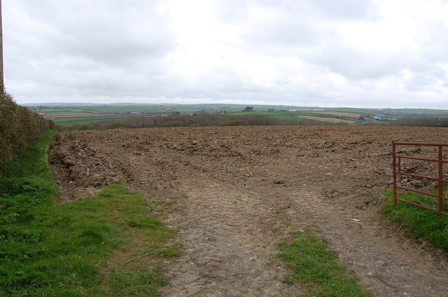
Image: © Julian P Guffogg Taken: 7 Apr 2012
Trelay Copse just visible. A typical view in this part of Cornwall.
Images are licensed for reuse under creativecommons.org/licenses/by-sa/2.0
Image Location
Latitude
50.786903
Longitude
-4.503065