Emmott House
Introduction
The photograph on this page of Emmott House by Ian Capper as part of the Geograph project.
The Geograph project started in 2005 with the aim of publishing, organising and preserving representative images for every square kilometre of Great Britain, Ireland and the Isle of Man.

There are currently over 7.5m images from over 14,400 individuals and you can help contribute to the project by visiting https://www.geograph.org.uk
Emmott House
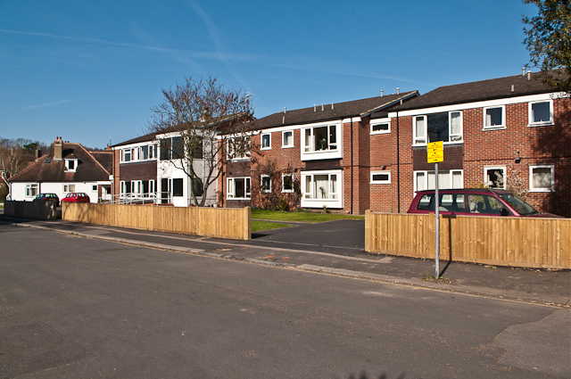
Image: © Ian Capper Taken: 1 Apr 2012
Sheltered housing in Chart Way, operated by Reigate Quaker Housing Association.
Images are licensed for reuse under creativecommons.org/licenses/by-sa/2.0
Image Location
Latitude
51.238765
Longitude
-0.199179