M4 near Bradley Stoke (1)
Introduction
The photograph on this page of M4 near Bradley Stoke (1) by MrC as part of the Geograph project.
The Geograph project started in 2005 with the aim of publishing, organising and preserving representative images for every square kilometre of Great Britain, Ireland and the Isle of Man.

There are currently over 7.5m images from over 14,400 individuals and you can help contribute to the project by visiting https://www.geograph.org.uk
M4 near Bradley Stoke (1)
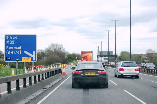
Image: © MrC Taken: 6 Apr 2012
Eastbound between junctions 20 and 19
Images are licensed for reuse under creativecommons.org/licenses/by-sa/2.0
Image Location
Latitude
51.533629
Longitude
-2.535507