Old Ipswich Road
Introduction
The photograph on this page of Old Ipswich Road by Chris Holifield as part of the Geograph project.
The Geograph project started in 2005 with the aim of publishing, organising and preserving representative images for every square kilometre of Great Britain, Ireland and the Isle of Man.

There are currently over 7.5m images from over 14,400 individuals and you can help contribute to the project by visiting https://www.geograph.org.uk
Old Ipswich Road
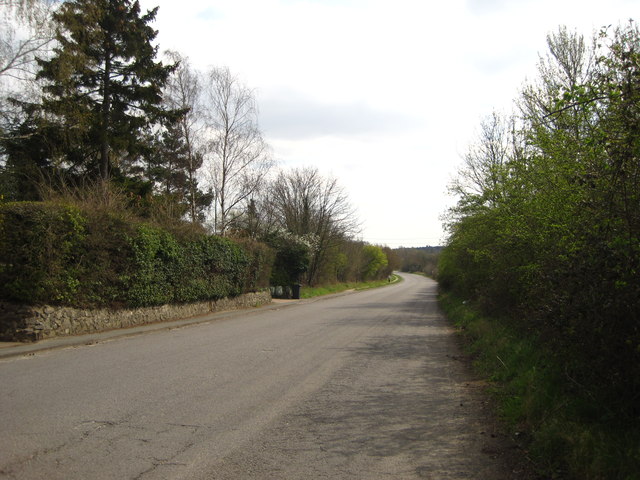
Image: © Chris Holifield Taken: 6 Apr 2012
This section of road was bypassed in the early 1980s when the dual carriageway (now designated the A14) was built and now comes to a dead end near Hill View Farm.
Images are licensed for reuse under creativecommons.org/licenses/by-sa/2.0
Image Location
Latitude
52.099656
Longitude
1.112098