Risquehouse
Introduction
The photograph on this page of Risquehouse by James Allan as part of the Geograph project.
The Geograph project started in 2005 with the aim of publishing, organising and preserving representative images for every square kilometre of Great Britain, Ireland and the Isle of Man.

There are currently over 7.5m images from over 14,400 individuals and you can help contribute to the project by visiting https://www.geograph.org.uk
Risquehouse
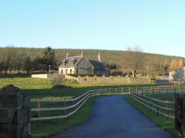
Image: © James Allan Taken: 1 Dec 2006
On the 1940s OS map it is called 'Bisquehouse' but I prefer the Risque version.
Images are licensed for reuse under creativecommons.org/licenses/by-sa/2.0
Image Location


Leaflet Map data © OpenStreetMap
Latitude
57.389471
Longitude
-2.785174