Footbridge over Weston Point Expressway (A557)
Introduction
The photograph on this page of Footbridge over Weston Point Expressway (A557) by Peter Whatley as part of the Geograph project.
The Geograph project started in 2005 with the aim of publishing, organising and preserving representative images for every square kilometre of Great Britain, Ireland and the Isle of Man.

There are currently over 7.5m images from over 14,400 individuals and you can help contribute to the project by visiting https://www.geograph.org.uk
Footbridge over Weston Point Expressway (A557)
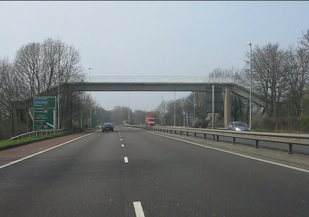
Image: © Peter Whatley Taken: 23 Mar 2012
My old maps show this as Rocksavage Expressway, but all current (2012) signage shows the name used in the title.
Images are licensed for reuse under creativecommons.org/licenses/by-sa/2.0
Image Location
Latitude
53.316515
Longitude
-2.711608