Water Lane, Winterton
Introduction
The photograph on this page of Water Lane, Winterton by Jonathan Thacker as part of the Geograph project.
The Geograph project started in 2005 with the aim of publishing, organising and preserving representative images for every square kilometre of Great Britain, Ireland and the Isle of Man.

There are currently over 7.5m images from over 14,400 individuals and you can help contribute to the project by visiting https://www.geograph.org.uk
Water Lane, Winterton
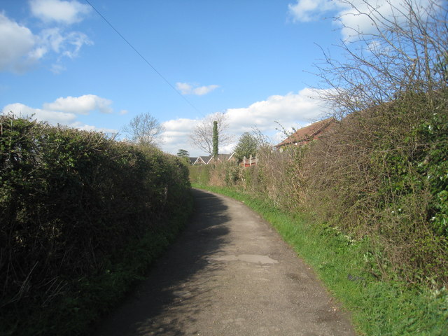
Image: © Jonathan Thacker Taken: 5 Apr 2012
There seems to be some confusion as to the name of this lane. Here it is Water Lane but just to the east street name posts give it as Watery Lane.
Images are licensed for reuse under creativecommons.org/licenses/by-sa/2.0
Image Location
Latitude
53.651665
Longitude
-0.600625