Bridge over the Catter Burn
Introduction
The photograph on this page of Bridge over the Catter Burn by Lairich Rig as part of the Geograph project.
The Geograph project started in 2005 with the aim of publishing, organising and preserving representative images for every square kilometre of Great Britain, Ireland and the Isle of Man.

There are currently over 7.5m images from over 14,400 individuals and you can help contribute to the project by visiting https://www.geograph.org.uk
Bridge over the Catter Burn
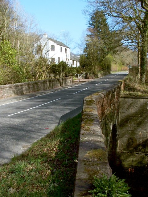
Image: © Lairich Rig Taken: 30 Mar 2012
The photograph was taken from the outskirts of Croftamie. Dalnair Cottage is visible ahead. For a view in the opposite direction over the same bridge, see Image For a view from the bridge, see Image
Images are licensed for reuse under creativecommons.org/licenses/by-sa/2.0
Image Location
Latitude
56.041725
Longitude
-4.444139