The Longford River in Hanworth Park
Introduction
The photograph on this page of The Longford River in Hanworth Park by Marathon as part of the Geograph project.
The Geograph project started in 2005 with the aim of publishing, organising and preserving representative images for every square kilometre of Great Britain, Ireland and the Isle of Man.

There are currently over 7.5m images from over 14,400 individuals and you can help contribute to the project by visiting https://www.geograph.org.uk
The Longford River in Hanworth Park
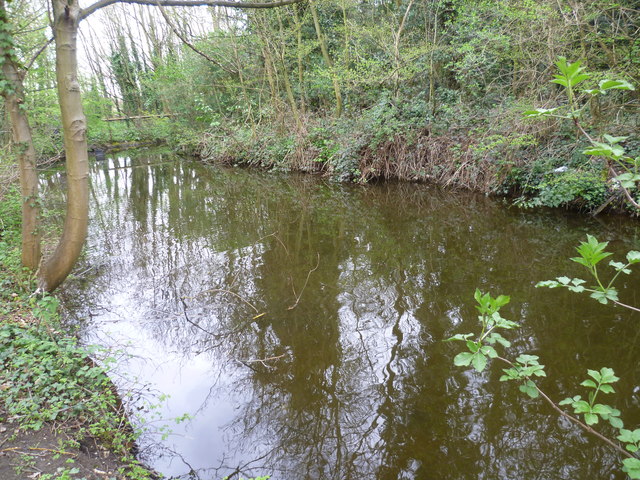
Image: © Marathon Taken: 4 Apr 2012
The Longford River was constructed in 1638 to take water from the River Colne. This would then supplement the water supply to Hampton Court and enable the development of the water features in the park. Here after passing through Feltham, the Longford River runs through the northern part of Hanworth Park before going underground to re-emerge and pass under the A314. Surprisingly the river was put underground to allow aircraft to take off and land - see http://www.geograph.org.uk/photo/2886196
Images are licensed for reuse under creativecommons.org/licenses/by-sa/2.0
Image Location
Latitude
51.4408
Longitude
-0.397135