North Circular Road frontages
Introduction
The photograph on this page of North Circular Road frontages by Peter Whatley as part of the Geograph project.
The Geograph project started in 2005 with the aim of publishing, organising and preserving representative images for every square kilometre of Great Britain, Ireland and the Isle of Man.

There are currently over 7.5m images from over 14,400 individuals and you can help contribute to the project by visiting https://www.geograph.org.uk
North Circular Road frontages
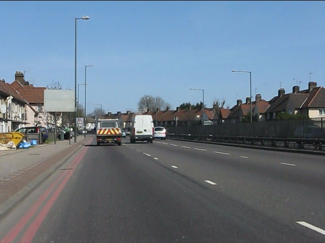
Image: © Peter Whatley Taken: 1 Apr 2012
Rather surprisingly, there are still houses fronting directly onto the North Circular Road - a "red route clearway" - in several places. Worse, every house has at least one vehicle parked which presumably has to crawl over the kerbs (none of which are dropped), reversing in at least one exit or entry manoeuvre. A highly unsafe situation.
Images are licensed for reuse under creativecommons.org/licenses/by-sa/2.0
Image Location
Latitude
51.548341
Longitude
-0.263986