Brixham Tide
Introduction
The photograph on this page of Brixham Tide by Glyn Baker as part of the Geograph project.
The Geograph project started in 2005 with the aim of publishing, organising and preserving representative images for every square kilometre of Great Britain, Ireland and the Isle of Man.

There are currently over 7.5m images from over 14,400 individuals and you can help contribute to the project by visiting https://www.geograph.org.uk
Brixham Tide
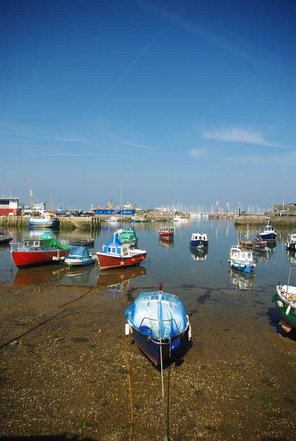
Image: © Glyn Baker Taken: 30 Mar 2012
Conclusive proof that Brixham harbour is tidal! Image The two photos were take five hours apart.
Images are licensed for reuse under creativecommons.org/licenses/by-sa/2.0
Image Location


Leaflet Map data © OpenStreetMap
Latitude
50.395934
Longitude
-3.511962