Former Jewsons Site
Introduction
The photograph on this page of Former Jewsons Site by Paul Franks as part of the Geograph project.
The Geograph project started in 2005 with the aim of publishing, organising and preserving representative images for every square kilometre of Great Britain, Ireland and the Isle of Man.

There are currently over 7.5m images from over 14,400 individuals and you can help contribute to the project by visiting https://www.geograph.org.uk
Former Jewsons Site
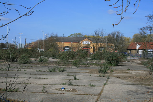
Image: © Paul Franks Taken: 1 Apr 2012
The site was at one time scheduled for redevelopment as a supermarket.
Images are licensed for reuse under creativecommons.org/licenses/by-sa/2.0
Image Location
Latitude
51.727594
Longitude
0.480519