Barnoldswick:Station Road
Introduction
The photograph on this page of Barnoldswick:Station Road by Dr Neil Clifton as part of the Geograph project.
The Geograph project started in 2005 with the aim of publishing, organising and preserving representative images for every square kilometre of Great Britain, Ireland and the Isle of Man.

There are currently over 7.5m images from over 14,400 individuals and you can help contribute to the project by visiting https://www.geograph.org.uk
Barnoldswick:Station Road
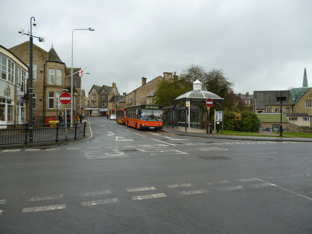
Image: © Dr Neil Clifton Taken: 3 Apr 2012
The photographer is standing just in front of the site of Barnoldswick Station, which closed in the 1960s and was demolished long ago. The street opposite still bears the name of Station Road. A Pennine Motors bus waits by the new bus shelter, with another local bus just behind it.
Images are licensed for reuse under creativecommons.org/licenses/by-sa/2.0
Image Location


Leaflet Map data © OpenStreetMap
Latitude
53.916748
Longitude
-2.187686