Frank Street, Bury
Introduction
The photograph on this page of Frank Street, Bury by Duncan Watts as part of the Geograph project.
The Geograph project started in 2005 with the aim of publishing, organising and preserving representative images for every square kilometre of Great Britain, Ireland and the Isle of Man.

There are currently over 7.5m images from over 14,400 individuals and you can help contribute to the project by visiting https://www.geograph.org.uk
Frank Street, Bury
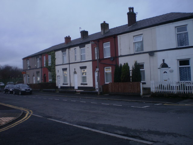
Image: © Duncan Watts Taken: 24 Jan 2012
Terraced housing surviving near the bustling retail centre of Bury. Up until the 1960s, much of Bury was made up of such housing
Images are licensed for reuse under creativecommons.org/licenses/by-sa/2.0
Image Location
Latitude
53.589287
Longitude
-2.290921