The Wheatsheaf
Introduction
The photograph on this page of The Wheatsheaf by Robin Webster as part of the Geograph project.
The Geograph project started in 2005 with the aim of publishing, organising and preserving representative images for every square kilometre of Great Britain, Ireland and the Isle of Man.

There are currently over 7.5m images from over 14,400 individuals and you can help contribute to the project by visiting https://www.geograph.org.uk
The Wheatsheaf
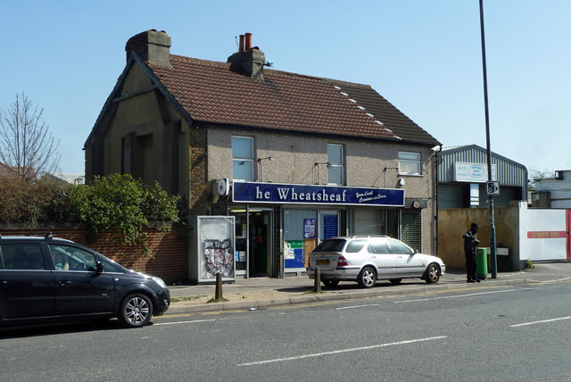
Image: © Robin Webster Taken: 1 Apr 2012
Not a pub but 'Your local convenience store'. Although not looking much like an ex-pub, reference to old maps shows that there was indeed a pub here, in the same block as houses to the left. These have now been demolished. Presumably the pub was called The Wheatsheaf.
Images are licensed for reuse under creativecommons.org/licenses/by-sa/2.0
Image Location
Latitude
51.406018
Longitude
-0.17693