Whielden Street, Old Amersham: the view south-west, out of town
Introduction
The photograph on this page of Whielden Street, Old Amersham: the view south-west, out of town by Stefan Czapski as part of the Geograph project.
The Geograph project started in 2005 with the aim of publishing, organising and preserving representative images for every square kilometre of Great Britain, Ireland and the Isle of Man.

There are currently over 7.5m images from over 14,400 individuals and you can help contribute to the project by visiting https://www.geograph.org.uk
Whielden Street, Old Amersham: the view south-west, out of town
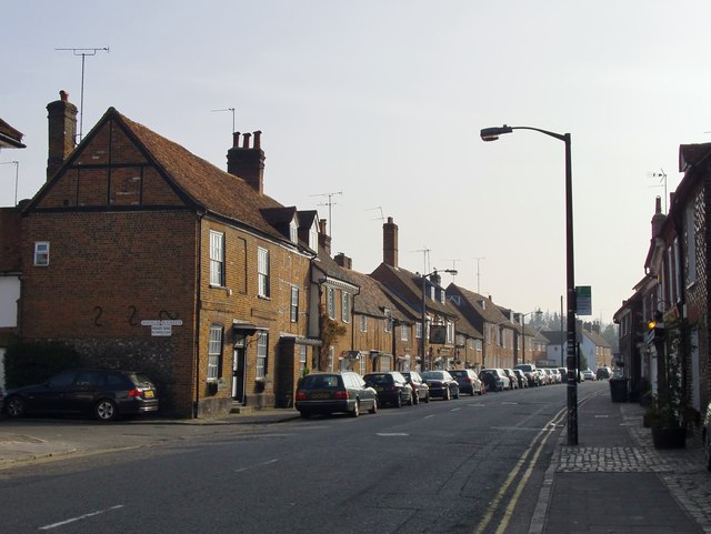
Image: © Stefan Czapski Taken: 30 Mar 2012
This was formerly the main road to High Wycombe. The tall chimney and the inn-sign in the middle distance are those of the 'Saracen's Head'.
Images are licensed for reuse under creativecommons.org/licenses/by-sa/2.0
Image Location
Latitude
51.664985
Longitude
-0.617263