Berntsen, Trawsfynydd
Introduction
The photograph on this page of Berntsen, Trawsfynydd by Meirion as part of the Geograph project.
The Geograph project started in 2005 with the aim of publishing, organising and preserving representative images for every square kilometre of Great Britain, Ireland and the Isle of Man.

There are currently over 7.5m images from over 14,400 individuals and you can help contribute to the project by visiting https://www.geograph.org.uk
Berntsen, Trawsfynydd
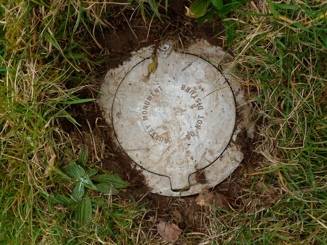
Image: © Meirion Taken: 21 Mar 2012
This Ordnance Survey berntsen is located in a small grassy verge in Trawsfynydd. It is an auxiliary to the fundamental benchmark which lies nearby.
Images are licensed for reuse under creativecommons.org/licenses/by-sa/2.0
Image Location
Latitude
52.906944
Longitude
-3.922456