Winchester - Fire Damage
Introduction
The photograph on this page of Winchester - Fire Damage by Chris Talbot as part of the Geograph project.
The Geograph project started in 2005 with the aim of publishing, organising and preserving representative images for every square kilometre of Great Britain, Ireland and the Isle of Man.

There are currently over 7.5m images from over 14,400 individuals and you can help contribute to the project by visiting https://www.geograph.org.uk
Winchester - Fire Damage
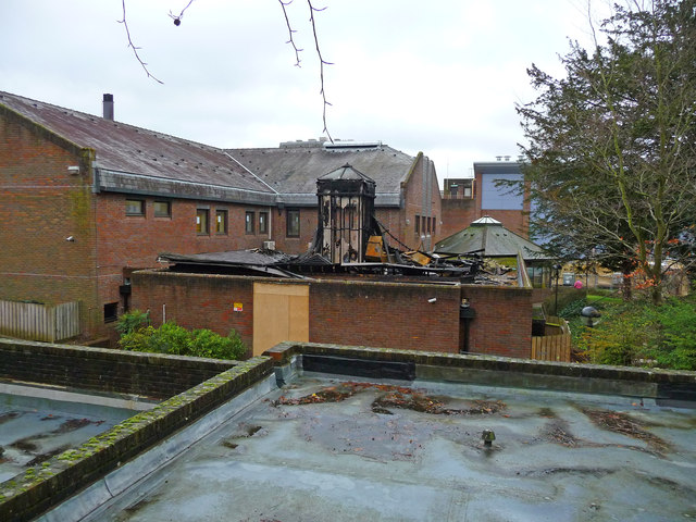
Image: © Chris Talbot Taken: 12 Jan 2012
At around 16:00 on the 9th december 2011 fire broke out, in a building housing an magnetic resonance imaging (MRI) scanner. Nobody was hurt in the fire.
Images are licensed for reuse under creativecommons.org/licenses/by-sa/2.0
Image Location
Latitude
51.06201
Longitude
-1.328838