Extended slip road on the Chester bypass
Introduction
The photograph on this page of Extended slip road on the Chester bypass by Peter Whatley as part of the Geograph project.
The Geograph project started in 2005 with the aim of publishing, organising and preserving representative images for every square kilometre of Great Britain, Ireland and the Isle of Man.

There are currently over 7.5m images from over 14,400 individuals and you can help contribute to the project by visiting https://www.geograph.org.uk
Extended slip road on the Chester bypass
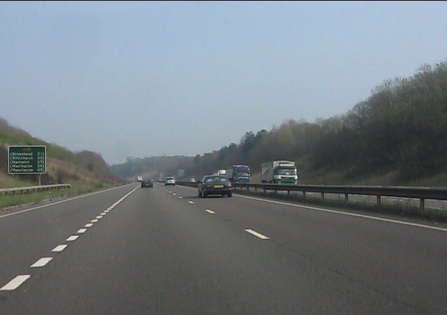
Image: © Peter Whatley Taken: 23 Mar 2012
Both entrance and exit slip roads to the east of the A483 interchange are extremely long, easily exceeding one kilometre.
Images are licensed for reuse under creativecommons.org/licenses/by-sa/2.0
Image Location
Latitude
53.158435
Longitude
-2.892944