Ruins in Dipton Woods
Introduction
The photograph on this page of Ruins in Dipton Woods by Robert Graham as part of the Geograph project.
The Geograph project started in 2005 with the aim of publishing, organising and preserving representative images for every square kilometre of Great Britain, Ireland and the Isle of Man.

There are currently over 7.5m images from over 14,400 individuals and you can help contribute to the project by visiting https://www.geograph.org.uk
Ruins in Dipton Woods
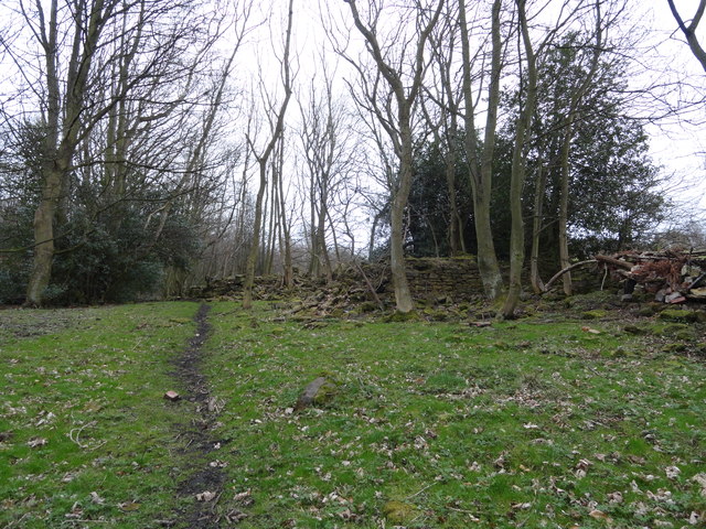
Image: © Robert Graham Taken: 9 Mar 2012
There are many ruined buildings and other remains in these woods, all from the intensive coal mining which was carried on here in the eighteenth and nineteenth centuries. This house probably stood next to a waggonway and served it in some way or other.
Images are licensed for reuse under creativecommons.org/licenses/by-sa/2.0
Image Location
Latitude
54.886811
Longitude
-1.760531