The White Hart and hillside houses, Bradwell
Introduction
The photograph on this page of The White Hart and hillside houses, Bradwell by Andrew Hill as part of the Geograph project.
The Geograph project started in 2005 with the aim of publishing, organising and preserving representative images for every square kilometre of Great Britain, Ireland and the Isle of Man.

There are currently over 7.5m images from over 14,400 individuals and you can help contribute to the project by visiting https://www.geograph.org.uk
The White Hart and hillside houses, Bradwell
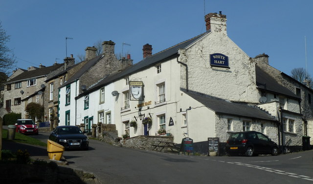
Image: © Andrew Hill Taken: 29 Mar 2012
Viewpoint is the top of Town Gate. The inn is on the corner of Hollow Gate (left) and High Lane.
Images are licensed for reuse under creativecommons.org/licenses/by-sa/2.0
Image Location
Latitude
53.32708
Longitude
-1.742168