Farm buildings and fields
Introduction
The photograph on this page of Farm buildings and fields by Andrew Hill as part of the Geograph project.
The Geograph project started in 2005 with the aim of publishing, organising and preserving representative images for every square kilometre of Great Britain, Ireland and the Isle of Man.

There are currently over 7.5m images from over 14,400 individuals and you can help contribute to the project by visiting https://www.geograph.org.uk
Farm buildings and fields
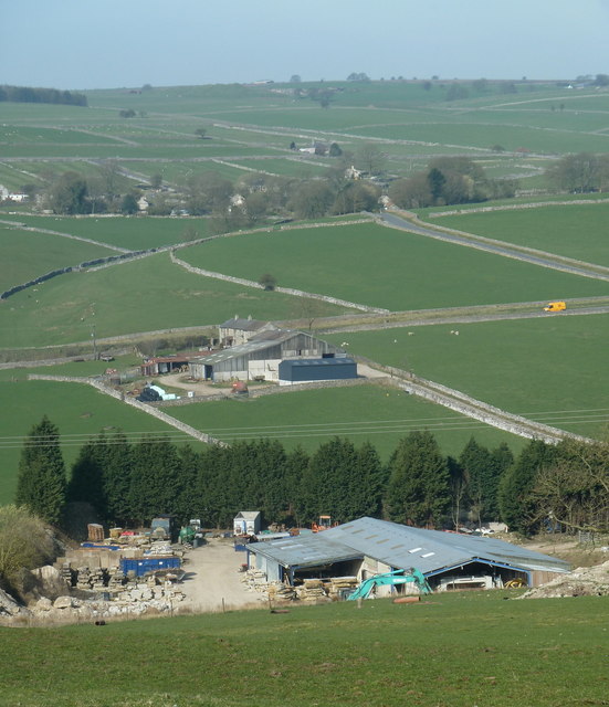
Image: © Andrew Hill Taken: 29 Mar 2012
Looking over farm buildings just south of Nether Water Farm, to another farm by the B6049 and the hamlet of Coplow Dale on the hillside beyond.
Images are licensed for reuse under creativecommons.org/licenses/by-sa/2.0
Image Location
Latitude
53.306679
Longitude
-1.744092