Footbridge at Studfield Hill
Introduction
The photograph on this page of Footbridge at Studfield Hill by Alan Murray-Rust as part of the Geograph project.
The Geograph project started in 2005 with the aim of publishing, organising and preserving representative images for every square kilometre of Great Britain, Ireland and the Isle of Man.

There are currently over 7.5m images from over 14,400 individuals and you can help contribute to the project by visiting https://www.geograph.org.uk
Footbridge at Studfield Hill
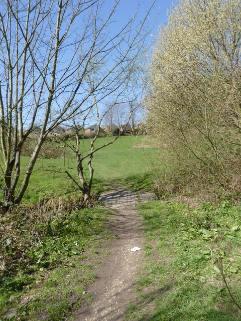
Image: © Alan Murray-Rust Taken: 27 Mar 2012
Actually marked as such on the 1:25000 maps. The stream was a mere trickle, but not quite dry. The path is marked as a bridleway.
Images are licensed for reuse under creativecommons.org/licenses/by-sa/2.0
Image Location
Latitude
53.406149
Longitude
-1.52659