Wyman's Brook leaves Pittville Lake
Introduction
The photograph on this page of Wyman's Brook leaves Pittville Lake by Terry Jacombs as part of the Geograph project.
The Geograph project started in 2005 with the aim of publishing, organising and preserving representative images for every square kilometre of Great Britain, Ireland and the Isle of Man.

There are currently over 7.5m images from over 14,400 individuals and you can help contribute to the project by visiting https://www.geograph.org.uk
Wyman's Brook leaves Pittville Lake
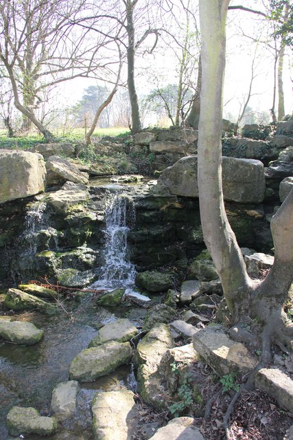
Image: © Terry Jacombs Taken: 28 Mar 2012
The two Pittville Lakes were created by damming Wymans Brook. The brook joins the River Swilgate further west on its way to the River Severn.
Images are licensed for reuse under creativecommons.org/licenses/by-sa/2.0
Image Location
Latitude
51.910549
Longitude
-2.076419