Cheyham Way
Introduction
The photograph on this page of Cheyham Way by Des Blenkinsopp as part of the Geograph project.
The Geograph project started in 2005 with the aim of publishing, organising and preserving representative images for every square kilometre of Great Britain, Ireland and the Isle of Man.

There are currently over 7.5m images from over 14,400 individuals and you can help contribute to the project by visiting https://www.geograph.org.uk
Cheyham Way
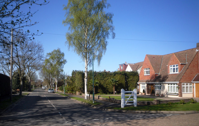
Image: © Des Blenkinsopp Taken: 26 Mar 2012
Another of the suburban roads on the London Loop path making up the roadside section between Nonsuch Park and Banstead Downs.
Images are licensed for reuse under creativecommons.org/licenses/by-sa/2.0
Image Location
Latitude
51.343401
Longitude
-0.21603