Farmland at Whitnash
Introduction
The photograph on this page of Farmland at Whitnash by Stephen McKay as part of the Geograph project.
The Geograph project started in 2005 with the aim of publishing, organising and preserving representative images for every square kilometre of Great Britain, Ireland and the Isle of Man.

There are currently over 7.5m images from over 14,400 individuals and you can help contribute to the project by visiting https://www.geograph.org.uk
Farmland at Whitnash
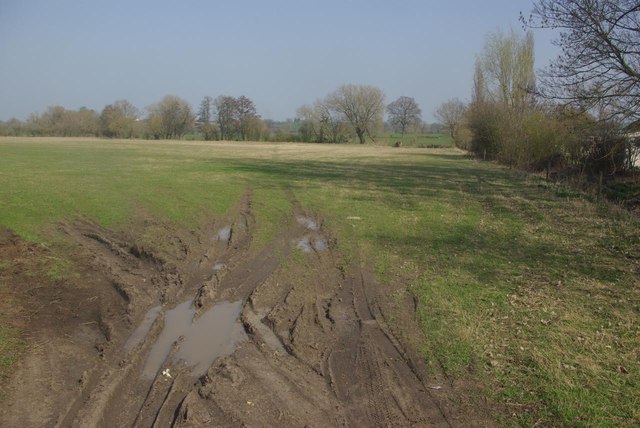
Image: © Stephen McKay Taken: 24 Mar 2012
Suburban Whitnash is largely hemmed in on the eastern side by the railway; on the other side is open country.
Images are licensed for reuse under creativecommons.org/licenses/by-sa/2.0
Image Location
Latitude
52.263002
Longitude
-1.516141