Wester Dounie
Introduction
The photograph on this page of Wester Dounie by Peter Moore as part of the Geograph project.
The Geograph project started in 2005 with the aim of publishing, organising and preserving representative images for every square kilometre of Great Britain, Ireland and the Isle of Man.

There are currently over 7.5m images from over 14,400 individuals and you can help contribute to the project by visiting https://www.geograph.org.uk
Wester Dounie
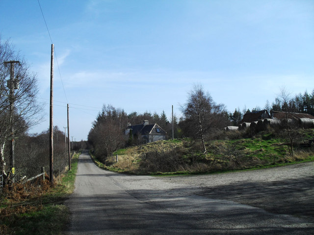
Image: © Peter Moore Taken: 26 Mar 2012
I always prefer to travel back down Strath Carron on the south side, especially whilst cycling.
Images are licensed for reuse under creativecommons.org/licenses/by-sa/2.0
Image Location
Latitude
57.882237
Longitude
-4.445808