Path to Knoll Recreation Ground
Introduction
The photograph on this page of Path to Knoll Recreation Ground by Peter Holmes as part of the Geograph project.
The Geograph project started in 2005 with the aim of publishing, organising and preserving representative images for every square kilometre of Great Britain, Ireland and the Isle of Man.

There are currently over 7.5m images from over 14,400 individuals and you can help contribute to the project by visiting https://www.geograph.org.uk
Path to Knoll Recreation Ground
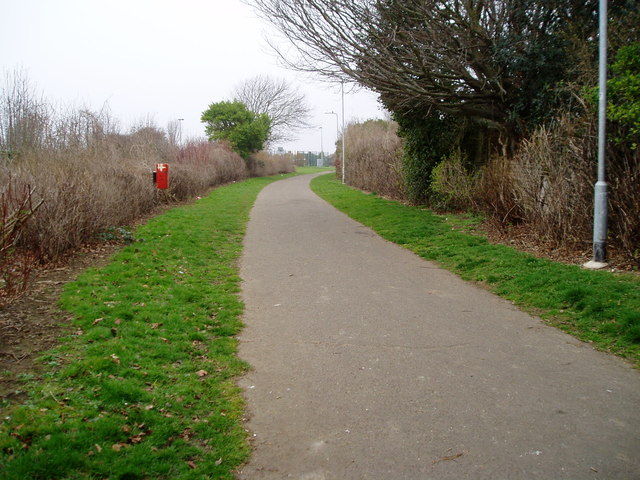
Image: © Peter Holmes Taken: 17 Mar 2012
Route of the old railway line to Devils Dyke curving behind houses in Rowan Avenue.
Images are licensed for reuse under creativecommons.org/licenses/by-sa/2.0
Image Location
Latitude
50.840197
Longitude
-0.195519