The approach to Wadebridge on the A39
Introduction
The photograph on this page of The approach to Wadebridge on the A39 by David Smith as part of the Geograph project.
The Geograph project started in 2005 with the aim of publishing, organising and preserving representative images for every square kilometre of Great Britain, Ireland and the Isle of Man.

There are currently over 7.5m images from over 14,400 individuals and you can help contribute to the project by visiting https://www.geograph.org.uk
The approach to Wadebridge on the A39
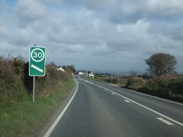
Image: © David Smith Taken: 8 Mar 2012
Although the A39 by-passes Wadebridge, there are advance warning signs on this stretch of the road because the site of the Royal Cornwall Show is alongside, with the resulting traffic when there are events.
Images are licensed for reuse under creativecommons.org/licenses/by-sa/2.0
Image Location
Latitude
50.511653
Longitude
-4.873712