Approaching Brentwood
Introduction
The photograph on this page of Approaching Brentwood by Robin Webster as part of the Geograph project.
The Geograph project started in 2005 with the aim of publishing, organising and preserving representative images for every square kilometre of Great Britain, Ireland and the Isle of Man.

There are currently over 7.5m images from over 14,400 individuals and you can help contribute to the project by visiting https://www.geograph.org.uk
Approaching Brentwood
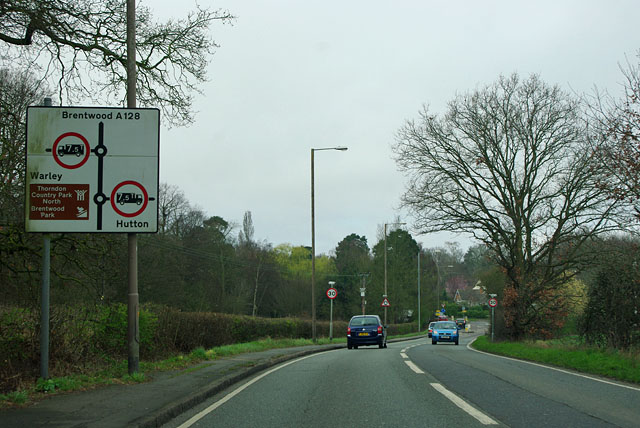
Image: © Robin Webster Taken: 25 Mar 2012
The A128 was an important road for traffic from Thameside heading north and east before the M25 was built, and still carries quite heavy local traffic.
Images are licensed for reuse under creativecommons.org/licenses/by-sa/2.0
Image Location
Latitude
51.609246
Longitude
0.326736