Fields near Dundonald (2)
Introduction
The photograph on this page of Fields near Dundonald (2) by Albert Bridge as part of the Geograph project.
The Geograph project started in 2005 with the aim of publishing, organising and preserving representative images for every square kilometre of Great Britain, Ireland and the Isle of Man.

There are currently over 7.5m images from over 14,400 individuals and you can help contribute to the project by visiting https://www.geograph.org.uk
Fields near Dundonald (2)
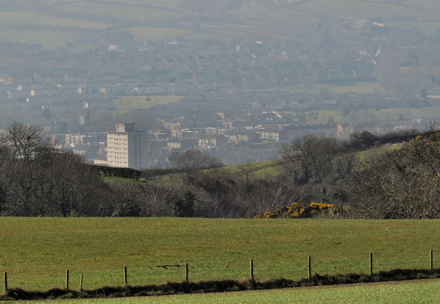
Image: © Albert Bridge Taken: 26 Mar 2012
See Image Slightly further down the road, looking more towards the south, the view becomes more urban/suburban. Dundonald and the eastern limit of Belfast are mainly hidden in the hollow. The block of flats is this one Image
Images are licensed for reuse under creativecommons.org/licenses/by-sa/2.0
Image Location
Latitude
54.609387
Longitude
-5.809031