Dover, High Street
Introduction
The photograph on this page of Dover, High Street by Helmut Zozmann as part of the Geograph project.
The Geograph project started in 2005 with the aim of publishing, organising and preserving representative images for every square kilometre of Great Britain, Ireland and the Isle of Man.

There are currently over 7.5m images from over 14,400 individuals and you can help contribute to the project by visiting https://www.geograph.org.uk
Dover, High Street
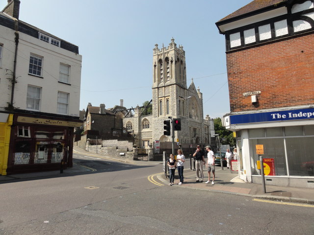
Image: © Helmut Zozmann Taken: 3 Aug 2011
Dover, High Street/Priory Hill, St Columba Church. This used to be 'The United Reformed Church of St Columba' until it was destroyed by a fire on 22nd September 2007. It is now about to be converted into luxury apartments and will then be called St Martins Court.
Images are licensed for reuse under creativecommons.org/licenses/by-sa/2.0
Image Location
Latitude
51.128202
Longitude
1.30776