Resurfacing Leyes Lane
Introduction
The photograph on this page of Resurfacing Leyes Lane by Nigel Mykura as part of the Geograph project.
The Geograph project started in 2005 with the aim of publishing, organising and preserving representative images for every square kilometre of Great Britain, Ireland and the Isle of Man.

There are currently over 7.5m images from over 14,400 individuals and you can help contribute to the project by visiting https://www.geograph.org.uk
Resurfacing Leyes Lane
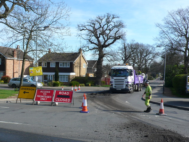
Image: © Nigel Mykura Taken: 25 Mar 2012
Leyes Lane had been closed from the junction with Windy Arbour to the junction with Dencer Drive. The surface was being stripped off in areas where it had deteriorated and new tarmac was then laid. This shows the lorry collecting the old surface material.
Images are licensed for reuse under creativecommons.org/licenses/by-sa/2.0
Image Location
Latitude
52.346616
Longitude
-1.563379