Oak tree and track north of Six Ashes, Staffordshire
Introduction
The photograph on this page of Oak tree and track north of Six Ashes, Staffordshire by Roger D Kidd as part of the Geograph project.
The Geograph project started in 2005 with the aim of publishing, organising and preserving representative images for every square kilometre of Great Britain, Ireland and the Isle of Man.

There are currently over 7.5m images from over 14,400 individuals and you can help contribute to the project by visiting https://www.geograph.org.uk
Oak tree and track north of Six Ashes, Staffordshire
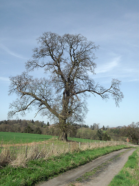
Image: © Roger D Kidd Taken: 25 Mar 2012
The farm track is also a public footpath across fields, just inside the Shropshire boundary, to Gatacre Park.
Images are licensed for reuse under creativecommons.org/licenses/by-sa/2.0
Image Location
Latitude
52.495911
Longitude
-2.308832