A view east along Freshbrook Way, Swindon
Introduction
The photograph on this page of A view east along Freshbrook Way, Swindon by Brian Robert Marshall as part of the Geograph project.
The Geograph project started in 2005 with the aim of publishing, organising and preserving representative images for every square kilometre of Great Britain, Ireland and the Isle of Man.

There are currently over 7.5m images from over 14,400 individuals and you can help contribute to the project by visiting https://www.geograph.org.uk
A view east along Freshbrook Way, Swindon
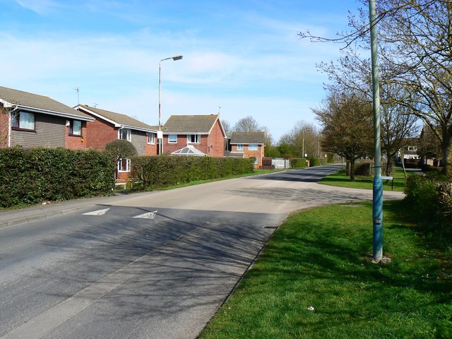
Image: © Brian Robert Marshall Taken: 25 Mar 2012
The road seen here was once the only route west from Swindon to the west country. Traffic heading for Chippenham, Bath or Bristol had to use this road, then designated the A420. In the late 1960s however, plans were made to develop hitherto sparsely populated farmland to the west of the town to provide thousands of additional dwellings for the expanding population. Part of the plan included the construction of a new 'relief' (although it was never called that) road to the south now named the A3102. Where once traffic could travel without speed limits, now it has to go no faster than 20 mph as the road is just another suburban estate road. The houses in view were built in the 1970s although, for the time being, there is a handful of older properties that pre-date the 1970s development Image
Images are licensed for reuse under creativecommons.org/licenses/by-sa/2.0
Image Location
Latitude
51.553686
Longitude
-1.831634