Hambert's Farm barns
Introduction
The photograph on this page of Hambert's Farm barns by Roger Jones as part of the Geograph project.
The Geograph project started in 2005 with the aim of publishing, organising and preserving representative images for every square kilometre of Great Britain, Ireland and the Isle of Man.

There are currently over 7.5m images from over 14,400 individuals and you can help contribute to the project by visiting https://www.geograph.org.uk
Hambert's Farm barns
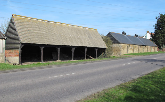
Image: © Roger Jones Taken: 25 Mar 2012
Older farm buildings on Burnham Road (B1012), most likely C19 or earlier; when these barns were built the township of "South Woodham Ferrers" had not yet been formed.
Images are licensed for reuse under creativecommons.org/licenses/by-sa/2.0
Image Location
Latitude
51.653813
Longitude
0.610803