Bartley Water
Introduction
The photograph on this page of Bartley Water by Burgess Von Thunen as part of the Geograph project.
The Geograph project started in 2005 with the aim of publishing, organising and preserving representative images for every square kilometre of Great Britain, Ireland and the Isle of Man.

There are currently over 7.5m images from over 14,400 individuals and you can help contribute to the project by visiting https://www.geograph.org.uk
Bartley Water
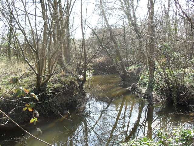
Image: © Burgess Von Thunen Taken: 21 Mar 2012
A stream in the woods behind Rowan Close.
Images are licensed for reuse under creativecommons.org/licenses/by-sa/2.0
Image Location
Latitude
50.91201
Longitude
-1.508086