Footpath to Pentre-clawdd
Introduction
The photograph on this page of Footpath to Pentre-clawdd by John Haynes as part of the Geograph project.
The Geograph project started in 2005 with the aim of publishing, organising and preserving representative images for every square kilometre of Great Britain, Ireland and the Isle of Man.

There are currently over 7.5m images from over 14,400 individuals and you can help contribute to the project by visiting https://www.geograph.org.uk
Footpath to Pentre-clawdd
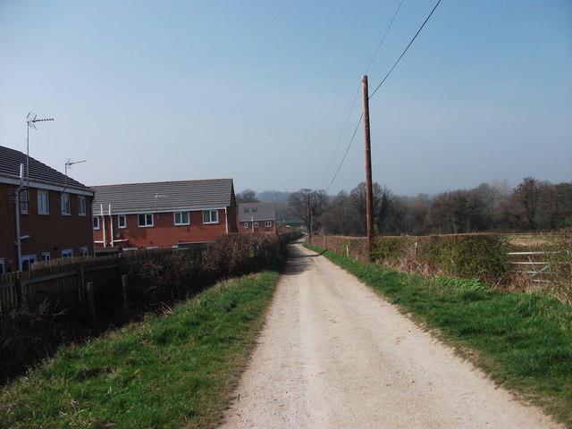
Image: © John Haynes Taken: 24 Mar 2012
The footpath uses the access drive to Pentre-clawdd. The houses on the left were built on a greenfield site.
Images are licensed for reuse under creativecommons.org/licenses/by-sa/2.0
Image Location
Latitude
52.995678
Longitude
-3.032319