Combs Reservoir
Introduction
The photograph on this page of Combs Reservoir by Jonathan Clitheroe as part of the Geograph project.
The Geograph project started in 2005 with the aim of publishing, organising and preserving representative images for every square kilometre of Great Britain, Ireland and the Isle of Man.

There are currently over 7.5m images from over 14,400 individuals and you can help contribute to the project by visiting https://www.geograph.org.uk
Combs Reservoir
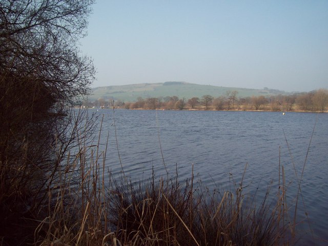
Image: © Jonathan Clitheroe Taken: 24 Mar 2012
Viewed here from the footpath following its western edge, this reservoir was built in 1797 to serve the Peak Forest Canal. It's now home to a sailing club and is also popular with anglers.
Images are licensed for reuse under creativecommons.org/licenses/by-sa/2.0
Image Location
Latitude
53.310804
Longitude
-1.940677