River Findhorn
Introduction
The photograph on this page of River Findhorn by Alan hodgson as part of the Geograph project.
The Geograph project started in 2005 with the aim of publishing, organising and preserving representative images for every square kilometre of Great Britain, Ireland and the Isle of Man.

There are currently over 7.5m images from over 14,400 individuals and you can help contribute to the project by visiting https://www.geograph.org.uk
River Findhorn
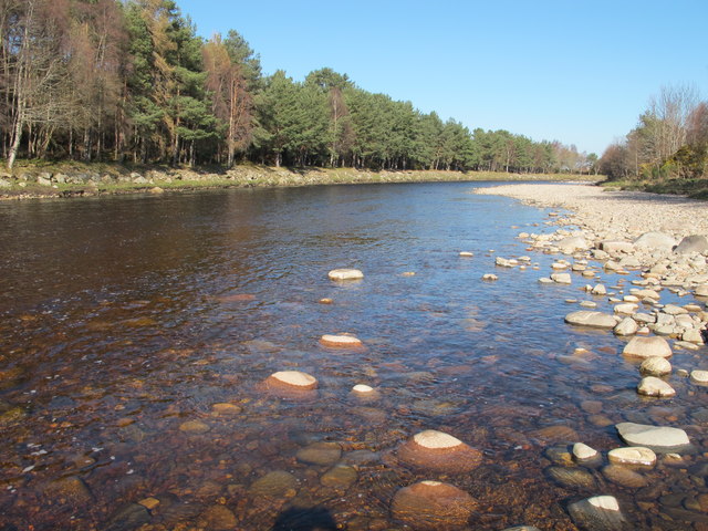
Image: © Alan hodgson Taken: 22 Mar 2012
Red Craig Pool at the upper reach of Forres Angling Association water. The already low river level is dropping as indicated by the wet mark on the stones.
Images are licensed for reuse under creativecommons.org/licenses/by-sa/2.0
Image Location
Latitude
57.59163
Longitude
-3.661778